
The Arch, near Aberystwyth
Walks through huge beech trees with views over...
There are very high visitor numbers here. Please be respectful of local residents and other visitors:
Planted by the Forestry Commission in the 1930s, Hafren Forest is named after Afon Hafren (the Welsh name for the River Severn).
The source of the River Severn is in a peat bog on the slopes of Pumlumon, Mid Wales’ highest mountain. In no time at all it becomes a torrent with falls and cascades plunging headlong through the forest.
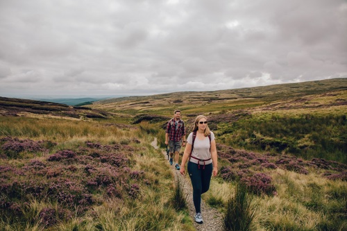
A walk along one of the trails, which are waymarked from the car park, is a great way to enjoy this beautiful river.
The longest route takes you to the source of the Severn, just outside the forest’s boundary.
The shorter trails go to waterfalls within the forest, including the famous Severn-Break-its-Neck.
Hafren Forest is also home to many public footpaths and bridleways and it is the starting point for two long distance walks.
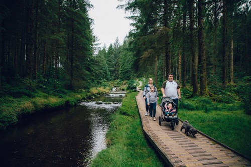
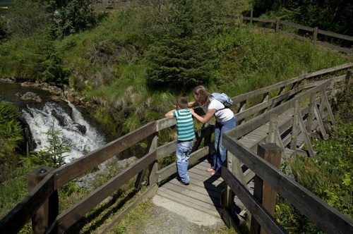
There are picnic areas near the car park and a riverside accessible trail to a viewing platform over the cascades.
There are temporary toilets in the car park.
The walking trails are waymarked from start to finish.
Look out for the information panel at the start of the trails in the main car park (Rhyd-y-benwch).
Find out about walking trail grades.
The Cascades Walk goes down to a boardwalk along the riverbank and along the side of the tumbling cascades.
Here there is a raised platform to enjoy the view before returning through the forest to the car park.
The Severn-Break-its-Neck Trail sets off alongside the river and then goes through a wildflower meadow with a boardwalk section.
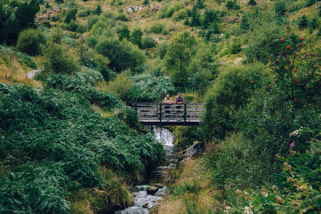
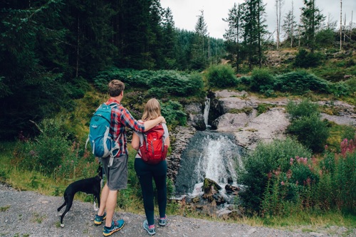
It crosses a footbridge where the River Severn thunders down a gully and forms the famous Severn-Break-its-Neck waterfall.
It returns to the car park on a forest road with views across the forest.
This scenic route goes through the heart of the forest alongside the River Severn to Blaen Hafren Falls.
The Source of the Severn Trail leads alongside the river and through the forest to Blaen Hafren Falls.
It then climbs steeply to the forest boundary and onto a stone path through boggy moorland to the Severn’s source on Pumlumon - the source is marked by a carved wooden post.
The trail passes by some heritage features including a standing stone and the remains of a mine and a farmstead - look out for the information panels along the route.
The Wye Valley Walk is a 136 mile long distance walk along the River Wye to Chepstow.
Hafren Forest is the start (or end) point for this linear walk.
For more information see the Wye Valley Walk website.
The Severn Way is a 210 mile long distance walk to Bristol.
Hafren Forest is the start (or end) point for this linear route.
For more information see the Long Distance Walkers Association website.
Sarn Sabrina is a 25 mile circular waymarked walk, part of which passes through Hafren Forest.
The route is named after the Celtic myth of Sabrina, a water nymph said to inhabit the waters of the River Severn.
For more information, see the Sarn Sabrina website.
The Sustrans National Cycle Network route 8 (Lôn Las Cymru) follows the minor road through Hafren Forest.
For more information see the Sustrans website.
Ospreys use a nest near Llyn Clywedog reservoir in Hafren Forest during their breeding season.
These large birds of prey return to Africa in late August.
The nest was built by our staff on a platform high up in a Sitka spruce tree in 2014.
You can watch the live feed from this osprey nest during the breeding season (normally March to August).
One camera is set on the nest while another focuses on a nearby perch.
Solar panels and infrared capability allow for 24-hour streaming from the nest, even during the darkness of night.
Live footage from both cameras is available on YouTube by searching “Llyn Clywedog Ospreys”.
We want you to return home safely after your visit here.
You are responsible for your own safety as well as the safety of any children and animals with you during your visit.
For advice and tips to help you plan your visit here go to Visiting our places safely.
Facilities include:
See the top of this webpage for details of any planned closures or other changes to visitor facilities here.
For your safety, always follow instructions from staff and signs including those for trail diversions or closures.
We may divert or close trails whilst we undertake maintenance work or other operations and we may need to close other visitor facilities temporarily.
In extreme weather, we may close facilities at short notice due to the risk of injury to visitors and staff.
You may need permission from us to organise an event or to carry out some activities on our land.
Check if you are allowed to use our land.
Hafren Forest is 6 miles west of Llanidloes.
The Ordnance Survey (OS) grid reference for the car park is SN 857 869 (Explorer Map 214).
The postcode is SY18 6PT. Please note that this postcode covers a wide area and will not take you directly to the entrance.
View this place on the What3Words website.
The nearest mainline railway station is in Caersws.
For details of public transport go to the Traveline Cymru website.
The main car park is Rhyd-y-benwch.
Car parking is free of charge here.
Overnight parking is not permitted.
There are no staff at this location.
Contact our customer team for general enquiries during office hours, Monday to Friday.


